Description
𝛼-Satellite: An AI-driven System for Community-level Risk Assessment
According to the Centers for Disease Control and Prevention (CDC), before a vaccine or drug becomes widely available, community mitigation, which is a set of actions that persons and communities can take to help slow the spread of respiratory virus infections, is the most readily available interventions to help slow transmission of the virus in communities. A growing number of areas reporting local sub-national community transmission would represent a significant turn for the worse in the battle against the novel coronavirus, which points to an urgent need for expanded surveillance so we can better understand the spread of COVID-19 and thus better respond with actionable strategies for community mitigation. In practicing community mitigation, there is still a need for groceries, medical supplies, etc., requiring travel and visits to local establishments. In doing so, we all have the opportunity to make choices on where we go and what establishments we visit to meet our daily needs. To assist with making an informed decision, as an initial offering, the web application (𝛼-Satellite) provides users with up-to-date community-level risk assessment in the United State. The web application advances capabilities of artificial intelligence (AI) to estimate risk indexes associated with a given area, by leveraging the large-scale and real-time data obtained from multiple sources including i) disease related data from official public health organizations and digital media (i.e., county-based confirmed cases, new cases, deaths and the fatality rate); ii) demographic data obtained from the United State Census Bureau that includes basic population, businesses, and geographic statistics for all states and counties, and for cities and towns with more than 5,000 people; iii) mobility data of an area (selected either by user input or by using the cursor for automatic positioning on the interactive map) that estimates how busy the area is in terms of traffic density obtained from location service providers (i.e., Google maps); iv) user-generated data from social media extracted from discussion threads on Reditt that can contribute complementary knowledge on the public perceptions towards COVID-19 in different areas in the communities. The available data is then automatically analyzed and combined to provide actionable information to users, by local area, to assess the potential risk of traveling to a specific area. More specifically, users interact with the web application by either entering a specific area of interest or by hovering over an area of interest on the interactive map, at which time a text box appears for the area that provides the following information to users: Demographic Density (the number of population per square mile in the related county), Traffic Status (a measure of traffic density in the area) on a scale of 1-5 Stars (1 Star-low traffic, 5 Stars-high traffic), Public Perception in the related communities on a scale of 0-1 (0-very pessimistic, 1-very optimistic), and then a Risk Index on a scale of 0-1 (0-minimal risk, 1-high risk) that combines all the available data and provides an index that is related to the possibility of high contact with individuals in that area and includes data from Public Perception in the associated areas as related to COVID-19.
Disclaimer
The information contained on this website (the "Service") is for general information purposes only. Case Western Reserve University (CWRU) assumes no responsibility for errors or omissions in the contents on the Service. In no event shall CWRU be liable for any direct, indirect, special, consequential, or incidental damages or any damages whatsoever, however caused and on any theory of liability, whether in contract, tort or otherwise, arising out of or in connection with the use of the Service or the contents of the Service. CWRU disclaims all representations and warranties, express or implied, regarding the Service or contents on this Service, whether authored by CWRU or others. CWRU reserves the right to make additions, deletions, or modifications to the contents on the Service at any time without prior notice. The contents on this Service may not reflect the most current information. Users should not rely on the information provided in this Service as a substitute for, nor does it replace, written law or regulations or advice, guidelines and/or requirements that are provided by city, state and federal agencies.
Project Team
T. and D. Schroeder Associate Professor
Department of Computer and Data Sciences
Case School of Engineering
Case Western Reserve University
Contact Our Team: covid19.yeslab (at) gmail (dot) com
[System] [Paper] [Bib] [Benchmark Datasets][Yes-Lab]
Arthur L. Parker Professor
Faculty Director, Institute for Smart, Secure and Connected Systems (ISSACS)
Department of Electrical, Computer and Systems Engineering
Case Western Reserve University
Email: kal4 (at) case (dot) edu
Team Members

Shifu Hou
(Ph.D. Student)

Yiming Zhang
(Ph.D. Student)

Yujie Fan
(Ph.D. Student)

Yiyue Qian
(Ph.D. Student)

Shiyu Sun
(MS Student)

Qian Peng
(MS Student)

Mingxuan Ju
(Ph.D. Student)
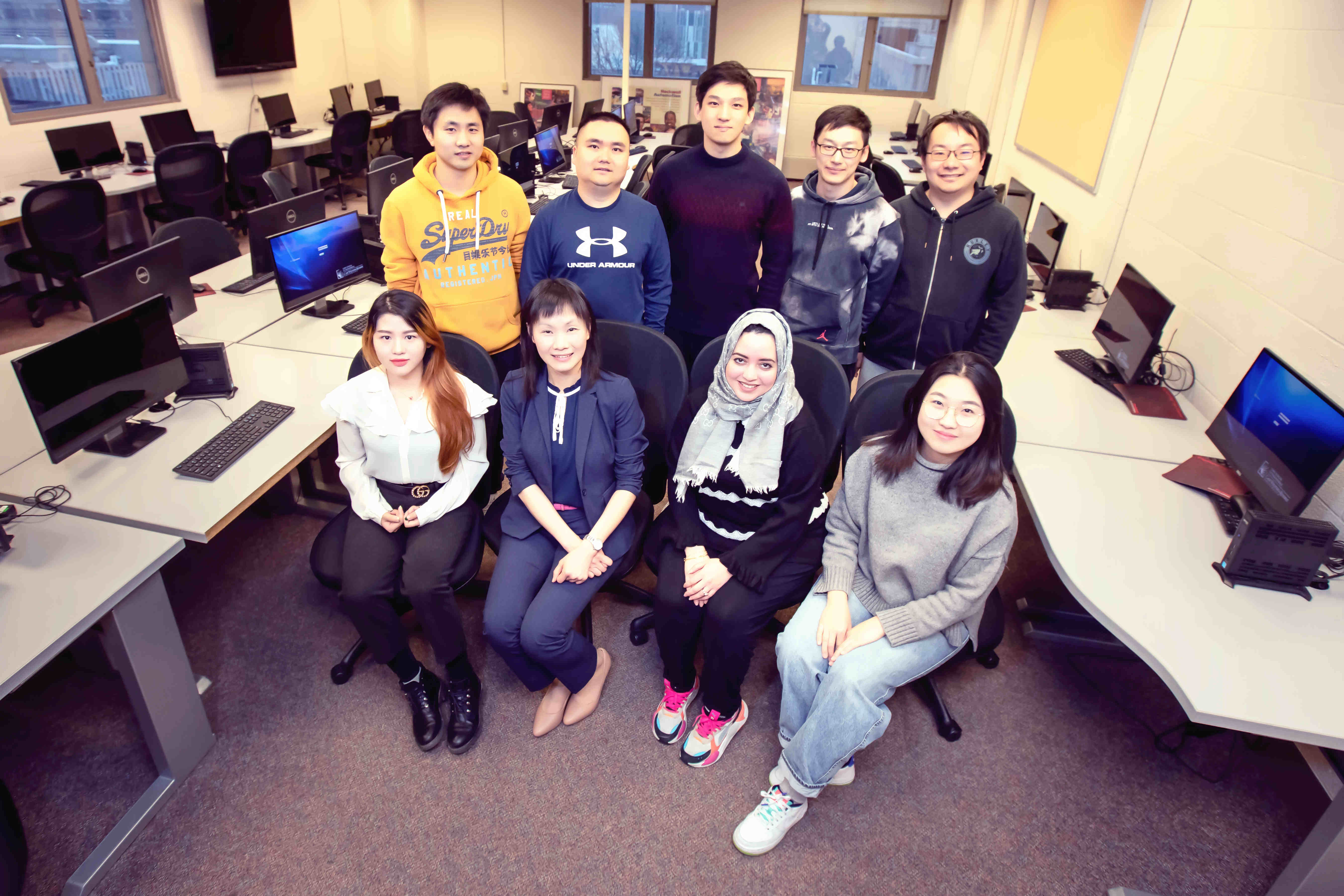
Yes-Lab, led by Prof. Yanfang (Fanny) Ye at Case Western Reserve University, is a team consisting of faculty, post-docs and students with research focuses of cybersecurity, data mining, machine learning and health intelligence. We very enjoy finding novel yet elegant solutions to resolve real-world problems that generate high impacts. Integrating humanity and technology, our long-term goal of research is to advance capabilities and trustworthiness of artificial intelligence (AI) to provide state-of-the-art innovations to secure cyberspace for its users and to improve the health and well-being of people around the world. We also enjoy integration of research with education to broaden participation in computing, especially women and underrepresented groups (e.g., currently 37.5% of the students in Yes-Lab are women).

© Copyrights Yes-Lab. All Rights Reserved.


